Image:Albania location map.svg

From Wikipedia, the free encyclopedia

Albania_location_map.svg‎ (SVG file, nominally 685 × 1,002 pixels, file size: 279 KB)

Wikimedia Commons logo This is a file from the Wikimedia Commons. The description on its description page there is shown below.
Commons is a freely licensed media file repository. You can help.
Description
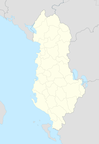
Deutsch: Positionskarte von Albanien

Quadratische Plattkarte, N-S-Streckung 130 %. Geographische Begrenzung der Karte:

  • N: 42.9° N
  • S: 39.3° N
  • W: 18.3° O
  • O: 21.5° O
English: Location map of Albania

Equirectangular projection, N/S stretching 130 %. Geographic limits of the map:

  • N: 42.9° N
  • S: 39.3° N
  • W: 18.3° E
  • O: 21.5° E
Source

own work, using United States National Imagery and Mapping Agency data

Date

21-07-2008

Author

Lencer

Permission
( Reusing this image)

see below


Deutsch: Diese Karte wurde in der Kartenwerkstatt erstellt oder verbessert. Auch du kannst uns verbesserungswürdige Karten vorschlagen.
English: This map has been made or improved in the German Kartenwerkstatt (Map Lab). You can propose maps to improve as well.
Français : Cette carte a été créée ou améliorée dans le Kartenwerkstatt (Atelier cartographique) allemand. Vous pouvez également y proposer des cartes à améliorer.
Italiano: Questa carta è stata prodotta e/o migliorata nella tedesca Kartenwerkstatt (Officine per le carte). Anche Tu puoi proporre carte degne di miglioramento.
Русский: Эта карта была улучшена в немецкой Kartenwerkstatt. Вы можете также предложить другие карты для улучшения.

Licensing:

I, the copyright holder of this work, hereby publish it under the following licenses:
GNU head Permission is granted to copy, distribute and/or modify this document under the terms of the GNU Free Documentation license, Version 1.2 or any later version published by the Free Software Foundation; with no Invariant Sections, no Front-Cover Texts, and no Back-Cover Texts. A copy of the license is included in the section entitled " GNU Free Documentation license".

Aragonés | العربية | Asturianu | Беларуская (тарашкевіца) | Български | বাংলা | ইমার ঠার/বিষ্ণুপ্রিয়া মণিপুরী | Brezhoneg | Bosanski | Català | Cebuano | Česky | Dansk | Deutsch | Ελληνικά | English | Esperanto | Español | Eesti | Euskara | فارسی | Suomi | Français | Gaeilge | Galego | עברית | Hrvatski | Magyar | Bahasa Indonesia | Ido | Íslenska | Italiano | 日本語 | ქართული | ភាសាខ្មែរ | 한국어 | Kurdî / كوردی | Latina | Lëtzebuergesch | Lietuvių | Bahasa Melayu | Nnapulitano | Nederlands | ‪Norsk (nynorsk)‬ | ‪Norsk (bokmål)‬ | Occitan | Polski | Português | Română | Русский | Slovenčina | Slovenščina | Shqip | Српски / Srpski | Svenska | తెలుగు | ไทย | Tagalog | Türkçe | Українська | اردو | Tiếng Việt | Volapük | Yorùbá | ‪中文(简体)‬ | ‪中文(繁體)‬ | +/-

CC
BY  SA
This file is licensed under the Creative Commons Attribution ShareAlike 3.0 Unported License. In short: you are free to share and make derivative works of the file under the conditions that you appropriately attribute it, and that you distribute it only under a license compatible with this one.

العربية | Català | Česky | Deutsch | Ελληνικά | English | Esperanto | Español | فارسی | Français | Italiano | עברית | 日本語 | 한국어 | Magyar | Nederlands | Plattdüütsch | Polski | Português | Русский | Svenska | Tiếng Việt | Українська | +/-

You may select the license of your choice.


File history

Click on a date/time to view the file as it appeared at that time.

Date/Time Dimensions User Comment
current 12:14, 16 August 2008 685×1,002 (279 KB) Lencer ({{Information |Description= |Source= |Date= |Author= |Permission= |other_versions= }})
17:00, 21 July 2008 258×377 (254 KB) Lencer ({{Information |Description= |Source= |Date= |Author= |Permission= |other_versions= }})
16:42, 21 July 2008 258×377 (254 KB) Lencer ({{Information |Description= {{de|Positionskarte von Albanien}} Quadratische Plattkarte, N-S-Streckung 130 %. Geographische Begrenzung der Karte: * N: 42.9° N * S: 39.3° N * W: 18.3° O * O: 21.5° O {{en|Location map of [[:en:Al)
The following pages on Schools Wikipedia link to this image (list may be incomplete):
This Wikipedia DVD Selection is sponsored by SOS Children , and consists of a hand selection from the English Wikipedia articles with only minor deletions (see www.wikipedia.org for details of authors and sources). See also our Disclaimer.