Image:1908 Electoral Map.png
From Wikipedia, the free encyclopedia
Size of this preview: 640 × 344 pixels
Full resolution (1,182 × 635 pixels, file size: 175 KB, MIME type: image/png)
| |
This is a file from the Wikimedia Commons. The description on its description page there is shown below. |
 |
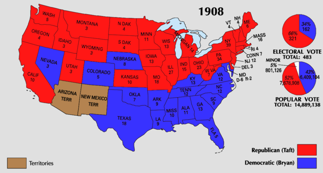
This map was obtained from an edition of the National Atlas of the United States. Like almost all works of the U.S. federal government, works from the National Atlas are in the public domain. Online access: NationalAtlas.gov | 1970 print edition: Library of Congress, Perry-Castañeda Library |
 |
| US presidential election maps |
| 1789 · 1792 · 1796 · 1800 · 1804 · 1808 · 1812 · 1816 · 1820 · 1824 · 1828 · 1832 · 1836 · 1840 · 1844 · 1848 · 1852 · 1856 · 1860 · 1864 · 1868 · 1872 · 1876 · 1880 · 1884 · 1888 · 1892 · 1896 · 1900 · 1904 · 1908 · 1912 · 1916 · 1920 · 1924 · 1928 · 1932 · 1936 · 1940 · 1944 · 1948 · 1952 · 1956 · 1960 · 1964 · 1968 · 1972 · 1976 · 1980 · 1984 · 1988 · 1992 · 1996 · 2000 · 2004 |
File history
Click on a date/time to view the file as it appeared at that time.
| Date/Time | Dimensions | User | Comment | |
|---|---|---|---|---|
| current | 22:30, 25 June 2008 | 1,182×635 (175 KB) | Tallicfan20 | |
| 05:10, 24 June 2008 | 1,182×635 (156 KB) | Tallicfan20 | ||
| 05:10, 24 June 2008 | 1,182×635 (146 KB) | Tallicfan20 | (Reverted to version as of 20:27, 25 May 2008) | |
| 05:08, 24 June 2008 | 1,182×635 (158 KB) | Tallicfan20 | ||
| 20:27, 25 May 2008 | 1,182×635 (146 KB) | Tallicfan20 | (better colour) | |
| 04:55, 17 May 2008 | 1,182×635 (99 KB) | Tallicfan20 | ({{PD-USGov-Atlas}} ) |
File links
The following pages on Schools Wikipedia link to this image (list may be incomplete):