Image:Hyde Park London from 1833 Schmollinger map.jpg
From Wikipedia, the free encyclopedia
Size of this preview: 640 × 442 pixels
Full resolution (1,796 × 1,240 pixels, file size: 956 KB, MIME type: image/jpeg)
Summary
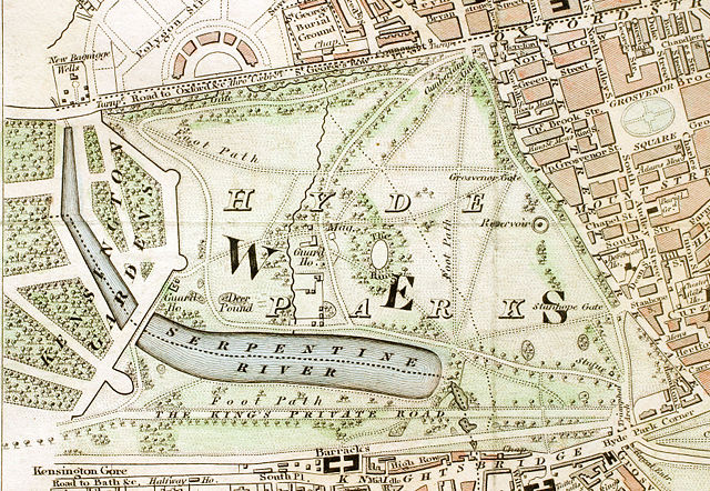
Hyde Park section of "Improved map of London for 1833, from Actual Survey. Engraved by W. Schmollinger, 27 Goswell Terrace", photographed for Wikipedia by User:Pointillist. All rights of the photographer are hereby released.
Licensing:
 |
The two-dimensional work of art depicted in this image is in the public domain in the United States and in those countries with a copyright term of life of the author plus 100 years. Under American copyright law, originality of expression is necessary for copyright protection, and a mere photograph of an out-of-copyright work may not be protected under American copyright law. |
| |
This file is an exact duplicate of another file from the Wikimedia Commons. Unless it is currently protected from editing, this media file may qualify for speedy deletion if it satisfies these conditions. | |
File history
Click on a date/time to view the file as it appeared at that time.
| Date/Time | Dimensions | User | Comment | |
|---|---|---|---|---|
| current | 11:37, 31 March 2008 | 1,796×1,240 (956 KB) | Pointillist ( Talk | contribs) | (Hyde Park section of "Improved map of London for 1833, from Actual Survey. Engraved by W. Schmollinger, 27 Goswell Terrace", photographed for Wikipedia by User:Pointillist. All rights of the photographer are hereby released.) |
See the setup instructions for more information.
File links
The following file is a duplicate of this file:
The following pages on Schools Wikipedia link to this image (list may be incomplete):
Metadata
This file contains additional information, probably added from the digital camera or scanner used to create or digitize it. If the file has been modified from its original state, some details may not fully reflect the modified file.
| Camera manufacturer | Canon |
|---|---|
| Camera model | Canon EOS D60 |
| Exposure time | 13/10 sec (1.3) |
| F-number | f/18 |
| Date and time of data generation | 11:50, 31 March 2008 |
| Lens focal length | 50 mm |
| Image title | Hyde Park section of "Improved map of London for 1833, from Actual Survey. Engraved by W. Schmollinger, 27 Goswell Terrace" |
| Orientation | Normal |
| Horizontal resolution | 240 dpi |
| Vertical resolution | 240 dpi |
| Software used | Adobe Photoshop CS2 Windows |
| File change date and time | 12:43, 31 March 2008 |
| Copyright holder | This is a photograph of a map whose creator has been dead for over 100 years. |
| Exposure Program | Aperture priority |
| ISO speed rating | 100 |
| Aperture | 8.33985 |
| Exposure bias | 0.63 |
| Maximum land aperture | 2.65625 |
| Metering mode | CenterWeightedAverage |
| Flash | 0 |
| Colour space | sRGB |
Categories: Public domain art