Image:Kiplingsengland3.jpg
From Wikipedia, the free encyclopedia
Size of this preview: 510 × 480 pixels
Full resolution (541 × 509 pixels, file size: 109 KB, MIME type: image/jpeg)
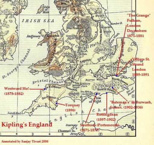
This a low-resolution (40% of original) and cropped version of the map, "Physical Map of the British Isles" (1911), originally published by William B. Shepard in 1911. The map was download by me ( Sanjay Tiwari 06:47, 8 October 2006 (UTC)) from the University of Texas website , resized to 40%, and then annotated.
 |
This image is in the public domain in countries with a copyright term of life of the author plus 70 years or less. Note that the United States has other rules and it is necessary to establish that this image is also in the public domain in the United States or to provide a use rationale. See Template:PD-US. |
Licensing
| |
I, the copyright holder of this work, hereby release it into the public domain. This applies worldwide. In case this is not legally possible, |
File history
Click on a date/time to view the file as it appeared at that time.
| Date/Time | Dimensions | User | Comment | |
|---|---|---|---|---|
| current | 06:47, 8 October 2006 | 541×509 (109 KB) | Sanjay Tiwari ( Talk | contribs) | (This a low-resolution (40% of original) and cropped version of the map, "Physical Map of the British Isles" (1911), originally published by William B. Shepard in 1911. The map was download by me (~~~~) from the University of Texas website [http://www.lib) |
See the setup instructions for more information.
File links
The following file is a duplicate of this file:
Metadata
This file contains additional information, probably added from the digital camera or scanner used to create or digitize it. If the file has been modified from its original state, some details may not fully reflect the modified file.
| Horizontal resolution | 150 dpi |
|---|---|
| Vertical resolution | 150 dpi |
| Software used | Adobe Photoshop 7.0 |
| File change date and time | 16:22, 9 November 2004 |
| Y and C positioning | 2 |
| Exif version | 2.2 |
| Colour space | sRGB |