Image:SaoPaulo Municip SaoPaulo.svg
From Wikipedia, the free encyclopedia
SaoPaulo_Municip_SaoPaulo.svg (SVG file, nominally 1,024 × 691 pixels, file size: 1.07 MB)
| |
This is a file from the Wikimedia Commons. The description on its description page there is shown below. |
 |
Padronização dos mapas derivados Sinta-se livre para criar derivações deste trabalho, mas caso queira ilustrar algum artigo da wikipédia com um mapa do tipo "município/região metropolitana em destaque" por favour siga rigorosamente o padrão visual, de nomenclatura e de classificação aqui utilizados pois todos os mapas das subdivisões brasileiras estão em processo de adaptação ou estão sendo criados desta forma. Não queremos inibir a criatividade mas o padrão aqui adotado foi apresentado e aceito pela comunidade lusófona e deve ser seguido sempre que for possível. Caso tenha problemas para seguir este padrão ou para derivar este trabalho entre em contato com comigo através do meu blog em lorenzeto.com. |
| Description |
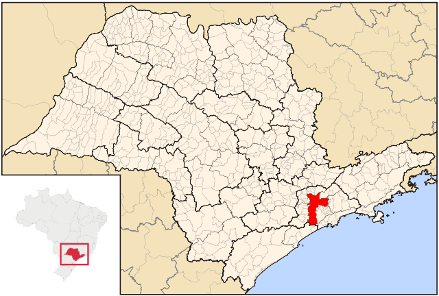
Map locator of São Paulo's São Paulo city |
|||||
|---|---|---|---|---|---|---|
| Source |
Image:SaoPaulo MesoMicroMunicip.svg, Raphael Lorenzeto de Abreu |
|||||
| Date |
June, 24 2006 |
|||||
| Author |
Cícero Henrique Rodrigues |
|||||
| Permission ( Reusing this image) |
|

File history
Click on a date/time to view the file as it appeared at that time.
| Date/Time | Dimensions | User | Comment | |
|---|---|---|---|---|
| current | 07:14, 24 June 2006 | 1,024×691 (1.07 MB) | Cicerohr | (Map locator of São Paulo's São Paulo city) |