Image:Gauteng Municipality Map.jpg
From Wikipedia, the free encyclopedia
Size of this preview: 467 × 479 pixels
Full resolution (700 × 718 pixels, file size: 68 KB, MIME type: image/jpeg)
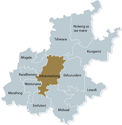
A map of the Municipalities of Gauteng.
 |
This image is copyrighted. The copyright holder allows anyone to use it for any purpose, provided that credit is given to the Johannesburg News Agency, a link is provided to www.joburg.org.za, and the webmaster is e-mailed with how the images are being used NOTE: The following conditions must not include terms which restrict usage to educational or not-for-profit purposes or prohibit derivatives. Details about the above note...
If the image requires attribution, use {{ Attribution}} instead. |
| |
This file is an exact duplicate of another file from the Wikimedia Commons. Unless it is currently protected from editing, this media file may qualify for speedy deletion if it satisfies these conditions. | |
File history
Click on a date/time to view the file as it appeared at that time.
| Date/Time | Dimensions | User | Comment | |
|---|---|---|---|---|
| current | 08:01, 16 July 2005 | 700×718 (68 KB) | PZFUN ( Talk | contribs) | (A map of the Municipalities of Gauteng. {{CopyrightedFreeUseProvidedThat|credit is given to the Johannesburg News Agency, a link is provided to www.joburg.org.za, and the webmaster is e-mailed with how the images are being used}}) |
| revert | 22:27, 7 July 2005 | 700×718 (40 KB) | PZFUN ( Talk | contribs) | (A map of the Municipalities of Gauteng. {{CopyrightedFreeUseProvidedThat|credit is given to the Johannesburg News Agency, a link is provided to www.joburg.org.za, and the webmaster is e-mailed with how the images are being used}}) |
See the setup instructions for more information.
File links
The following file is a duplicate of this file:
The following pages on Schools Wikipedia link to this image (list may be incomplete):
Metadata
This file contains additional information, probably added from the digital camera or scanner used to create or digitize it. If the file has been modified from its original state, some details may not fully reflect the modified file.
| Orientation | Normal |
|---|---|
| Horizontal resolution | 72 dpi |
| Vertical resolution | 72 dpi |
| Software used | Adobe Photoshop CS Windows |
| File change date and time | 03:09, 16 July 2005 |
| Colour space | 65535 |
Categories: Conditional use images