Image:Poland Warsaw boundaries 1939 and 2005.svg
From Wikipedia, the free encyclopedia
Poland_Warsaw_boundaries_1939_and_2005.svg (SVG file, nominally 705 × 739 pixels, file size: 17 KB)
| |
This is a file from the Wikimedia Commons. The description on its description page there is shown below. |
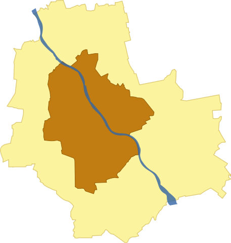
Summary
| Description |
Boundaries of Warsaw in 1939 and 2005. |
|---|---|
| Source |
own work |
| Date |
2006-10-20 |
| Author |
Marcin Floryan |
| Permission ( Reusing this image) |
see below
|
Licensing
|
File history
Click on a date/time to view the file as it appeared at that time.
| Date/Time | Dimensions | User | Comment | |
|---|---|---|---|---|
| current | 12:26, 20 October 2006 | 705×739 (17 KB) | Mfloryan | ({{Information |Description=Boundaries of Warsaw in 1939 and 2005. |Source=own work |Date=2006-10-20 |Author=Marcin Floryan |Permission= |other_versions=none }} ) |
File links
The following pages on Schools Wikipedia link to this image (list may be incomplete):