Image:Bristol map 1946.jpg
From Wikipedia, the free encyclopedia
Size of this preview: 516 × 479 pixels
Full resolution (4,960 × 4,608 pixels, file size: 3.75 MB, MIME type: image/jpeg)
| |
This is a file from the Wikimedia Commons. The description on its description page there is shown below. |
File history
Click on a date/time to view the file as it appeared at that time.
| Date/Time | Dimensions | User | Comment | |
|---|---|---|---|---|
| current | 22:10, 1 December 2007 | 4,960×4,608 (3.75 MB) | Geni | (trying again ) |
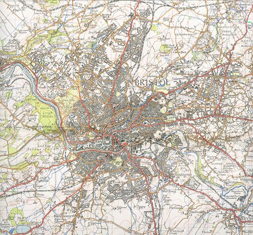
| 17:20, 16 September 2007 | 4,352×4,800 (3.39 MB) | Geni | ({{Information |Description=Map of Bristol from 1946. Scale 1 inch to the mile 600DPI Sheet 156 |Source=OS |Date=1946 |Author=OS |Permission=none needed |other_versions= }} {{oldOS}} Category:Maps of cities in the United Kingdom Category:Bristol ) |
File links
The following pages on Schools Wikipedia link to this image (list may be incomplete):