Image:IsleofWightmap 1945.jpg
From Wikipedia, the free encyclopedia
Size of this preview: 640 × 446 pixels
Full resolution (2,264 × 1,576 pixels, file size: 996 KB, MIME type: image/jpeg)
| |
This is a file from the Wikimedia Commons. The description on its description page there is shown below. |
| This work is in the public domain because it is an Ordnance Survey map over 50 years old. Ordnance Survey maps are covered by Crown Copyright which in this case expires 50 years after publication. Ordnance Survey does however ask that they be credited and that the date of publication be given. Any ancillary rights gained through the creation of the electronic version are granted as freely usable under any circumstances. |
| Description |
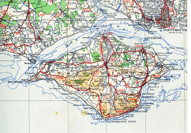
OS map from 1945 1/4 inch to the mile sheet 11 |
|
|---|---|---|
| Source |
old OS map |
|
| Date |
1945 |
|
| Author |
OS |
|
| Permission ( Reusing this image) |
none needed |
|
| Other versions |
|

File history
Click on a date/time to view the file as it appeared at that time.
| Date/Time | Dimensions | User | Comment | |
|---|---|---|---|---|
| current | 21:45, 10 November 2006 | 2,264×1,576 (996 KB) | Bastique | (Modified levels, modified size to more manageable size.) |
| 18:18, 6 November 2006 | (6.06 MB) | Geni | ({{oldOS}} {{Information |Description=OS map from 1945 1/4 inch to the mile sheet 11 |Source=old OS map |Date=1945 |Author=OS |Permission=none needed |other_versions= }}) |
File links
The following pages on Schools Wikipedia link to this image (list may be incomplete):
Metadata
This file contains additional information, probably added from the digital camera or scanner used to create or digitize it. If the file has been modified from its original state, some details may not fully reflect the modified file.
| Orientation | Normal |
|---|---|
| Horizontal resolution | 600 dpi |
| Vertical resolution | 600 dpi |
| Software used | Adobe Photoshop CS2 Windows |
| File change date and time | 16:47, 10 November 2006 |
| Colour space | 65535 |