From Wikipedia, the free encyclopedia
 Size of this preview: 462 × 479 pixels
 Full resolution (825 × 856 pixels, file size: 23 KB, MIME type: image/png)
 |
This is a file from the Wikimedia Commons. The description on its description page there is shown below.Commons is a freely licensed media file repository. You can help.
|
| Description |
Summary
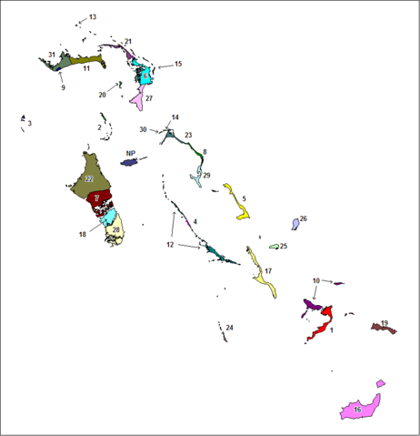
Created by Rarelibra for public domain use. Created using MapInfo Professional v7.5 and referencing various Bahamian map sources. en:Category:Maps of the Bahamas |
| Source |
own-work |
| Date |
|
| Author |
User Rarelibra on en.wikipedia |
Permission
( Reusing this image) |
|
|
I, the copyright holder of this work, hereby release it into the public domain. This applies worldwide.
In case this is not legally possible:
I grant anyone the right to use this work for any purpose, without any conditions, unless such conditions are required by law.
Afrikaans | Alemannisch | Aragonés | العربية | Asturianu | Български | Català | Cebuano | Česky | Cymraeg | Dansk | Deutsch | Eʋegbe | Ελληνικά | English | Español | Esperanto | Euskara | Estremeñu | فارسی | Français | Galego | 한국어 | हिन्दी | Hrvatski | Ido | Bahasa Indonesia | Íslenska | Italiano | עברית | Kurdî / كوردی | Latina | Lietuvių | Latviešu | Magyar | Македонски | Bahasa Melayu | Nederlands | Norsk (bokmål) | Norsk (nynorsk) | 日本語 | Polski | Português | Ripoarisch | Română | Русский | Shqip | Slovenčina | Slovenščina | Српски / Srpski | Suomi | Svenska | ไทย | Tagalog | Türkçe | Українська | Tiếng Việt | Walon | 中文(简体) | 中文(繁體) | zh-yue-hant | +/- |
|
| Other versions |
Originally from en.wikipedia; description page is (was) here * 06:35, 21 January 2006 [[:en:User:Rarelibra|Rarelibra]] 825×856 (23,099 bytes) <span class="comment">(Created by [[:en:Rarelibra]] for public domain use. Created using MapInfo Professional v7.5 and referencing various Bahamian map sources.)</span> |
(Uploaded using CommonsHelper or PushForCommons)
File history
Click on a date/time to view the file as it appeared at that time.
|
|
Date/Time |
Dimensions |
User |
Comment |
| current |
20:18, 5 November 2006 |
825×856 (23 KB) |
Stanmar |
|
File links
The following pages on Schools Wikipedia link to this image (list may be incomplete):
