Image:Koninkrijk der Nederlanden.png
From Wikipedia, the free encyclopedia
Size of this preview: 499 × 480 pixels
Full resolution (1,180 × 1,135 pixels, file size: 400 KB, MIME type: image/png)
| |
This is a file from the Wikimedia Commons. The description on its description page there is shown below. |
Summary
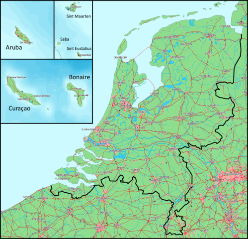
| Description |
Dutch: Kaart van het Koninkrijk der Nederlanden. Het vasteland (Nederland) en de eilanden worden getoond op dezelfde schaal. |
||
|---|---|---|---|
| Source |
Gebaseerd op/Based on http://www.demis.nl/wms/mapclip.htm (free software based on a free database/vrije software gebaseerd op een vrije database) |
||
| Date |
2007-04-24 |
||
| Author |
Bewerkt door/Edited by Maarten van der Bent |
||
| Permission ( Reusing this image) |
|

File history
Click on a date/time to view the file as it appeared at that time.
| Date/Time | Dimensions | User | Comment | |
|---|---|---|---|---|
| current | 20:01, 24 April 2007 | 1,180×1,135 (400 KB) | Maartenvdbent | (bigger names) |
| 18:19, 24 April 2007 | 1,179×1,135 (394 KB) | Maartenvdbent | (without hand) | |
| 17:08, 24 April 2007 | 1,179×1,135 (394 KB) | Maartenvdbent | ({{Information |Description=Map of the Kingdom of the Netherlands |Source=Based on http://www.demis.nl/wms/mapclip.htm (free software based on free database) |Date=2007-04-24 |Author=Edited by Maarten van der Bent |Permissi) |
File links
The following pages on Schools Wikipedia link to this image (list may be incomplete):