Image:Deutschland Lage von Hamburg.svg
From Wikipedia, the free encyclopedia
Deutschland_Lage_von_Hamburg.svg (SVG file, nominally 592 × 801 pixels, file size: 108 KB)
| |
This is a file from the Wikimedia Commons. The description on its description page there is shown below. |
| Description |
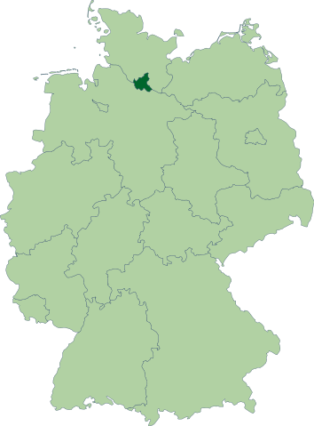
Deutsch: Karte der Bundesrepublik Deutschland mit eingezeichneten Grenzen und alphabetischer Nummerierung der Bundesländer. Hamburg ist farblich hervorgehoben.
|
|||
|---|---|---|---|---|
| Source |
Erstellt aus Material des gemeinsamen Datenangebotes aus dem gemeinsamen Portal der statistischen Ämter des Bundes und der Länder (DeStatis). |
|||
| Date |
15.10.2006 |
|||
| Author |
David Liuzzo |
|||
| Permission ( Reusing this image) |
|
File history
Click on a date/time to view the file as it appeared at that time.
| Date/Time | Dimensions | User | Comment | |
|---|---|---|---|---|
| current | 22:23, 14 October 2006 | 592×801 (108 KB) | David Liuzzo | ({{Information| |Description= {{de|Karte der Bundesrepublik Deutschland mit eingezeichneten Grenzen und alphabetischer Nummerierung der Bundesländer. Hamburg ist farblich hervorgehoben.}} |Source= Ers) |
File links
The following pages on Schools Wikipedia link to this image (list may be incomplete):