From Wikipedia, the free encyclopedia
 |
This is a file from the Wikimedia Commons. The description on its description page there is shown below.Commons is a freely licensed media file repository. You can help.
|
Beschreibung
| Description |
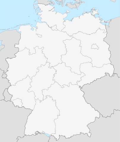
Deutsch: Karte von Deutschland mit den Grenzen der 16 Bundesländer
Quadratische Plattkarte, N-S-Streckung 150 %. Geographische Begrenzung der Karte:
- N: 55.1° N
- S: 47.2° N
- W: 5.5° O
- O: 15.5° O
English: Map of Germany with the borders of the 16 federal states
Equirectangular projection, N/S stretching 150 %. Geographic limits of the map:
- N: 55.1° N
- S: 47.2° N
- W: 5.5° E
- E: 15.5° E
|
| Source |
own work |
| Date |
27-05-2008 |
| Author |
NordNordWest |
Permission
( Reusing this image) |
see below |
| Other versions |
|
Deutsch: Diese Karte wurde in der Kartenwerkstatt erstellt oder verbessert. Auch du kannst uns verbesserungswürdige Karten vorschlagen.
English: This map has been made or improved in the German Kartenwerkstatt (Map Lab). You can propose maps to improve as well.
Français : Cette carte a été créée ou améliorée dans le Kartenwerkstatt (Atelier cartographique) allemand. Vous pouvez également y proposer des cartes à améliorer.
Italiano: Questa carta è stata prodotta e/o migliorata nella tedesca Kartenwerkstatt (Officine per le carte). Anche Tu puoi proporre carte degne di miglioramento.
Русский: Эта карта была улучшена в немецкой Kartenwerkstatt. Вы можете также предложить другие карты для улучшения.
Licensing:
I, the copyright holder of this work, hereby publish it under the following licenses:
 |
Permission is granted to copy, distribute and/or modify this document under the terms of the GNU Free Documentation license, Version 1.2 or any later version published by the Free Software Foundation; with no Invariant Sections, no Front-Cover Texts, and no Back-Cover Texts. A copy of the license is included in the section entitled " GNU Free Documentation license".
Aragonés | العربية | Asturianu | Беларуская (тарашкевіца) | Български | বাংলা | ইমার ঠার/বিষ্ণুপ্রিয়া মণিপুরী | Brezhoneg | Bosanski | Català | Cebuano | Česky | Dansk | Deutsch | Ελληνικά | English | Esperanto | Español | Eesti | Euskara | فارسی | Suomi | Français | Gaeilge | Galego | עברית | Hrvatski | Magyar | Bahasa Indonesia | Ido | Íslenska | Italiano | 日本語 | ქართული | ភាសាខ្មែរ | 한국어 | Kurdî / كوردی | Latina | Lëtzebuergesch | Lietuvių | Bahasa Melayu | Nnapulitano | Nederlands | Norsk (nynorsk) | Norsk (bokmål) | Occitan | Polski | Português | Română | Русский | Slovenčina | Slovenščina | Shqip | Српски / Srpski | Svenska | తెలుగు | ไทย | Tagalog | Türkçe | Українська | اردو | Tiếng Việt | Volapük | Yorùbá | 中文(简体) | 中文(繁體) | +/- |
You may select the license of your choice.
|
File history
Click on a date/time to view the file as it appeared at that time.
|
|
Date/Time |
Dimensions |
User |
Comment |
| current |
13:18, 2 July 2008 |
1,343×1,591 (735 KB) |
NordNordWest |
|
|
|
09:29, 28 May 2008 |
1,343×1,591 (733 KB) |
NordNordWest |
|
|
|
21:15, 27 May 2008 |
1,343×1,591 (658 KB) |
NordNordWest |
|
|
|
19:51, 27 May 2008 |
1,343×1,591 (653 KB) |
NordNordWest |
|
|
|
19:40, 27 May 2008 |
537×636 (650 KB) |
NordNordWest |
|
File links
The following pages on Schools Wikipedia link to this image (list may be incomplete):

