Image:Cotswold roads 1933.jpg
From Wikipedia, the free encyclopedia
Size of this preview: 418 × 479 pixels
Full resolution (2,416 × 2,768 pixels, file size: 514 KB, MIME type: image/jpeg)
| |
This is a file from the Wikimedia Commons. The description on its description page there is shown below. |
File history
Click on a date/time to view the file as it appeared at that time.
| Date/Time | Dimensions | User | Comment | |
|---|---|---|---|---|
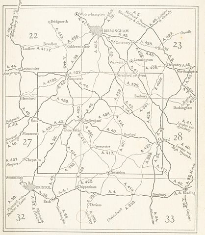
| current | 23:16, 4 September 2007 | 2,416×2,768 (514 KB) | Geni | ({{oldOS}} {{Information |Description=Cotswold roads from 1933 |Source=OS map the cotswolds 1/2 inch to the mile. |Date= 1933 |Author= OS scanned by myself |Permission= |other_versions= }}) |
File links
The following pages on Schools Wikipedia link to this image (list may be incomplete):