Image:Conakry us map 1981.jpg
From Wikipedia, the free encyclopedia
Size of this preview: 431 × 479 pixels
Full resolution (1,465 × 1,629 pixels, file size: 181 KB, MIME type: image/jpeg)
| |
This is a file from the Wikimedia Commons. The description on its description page there is shown below. |
Summary
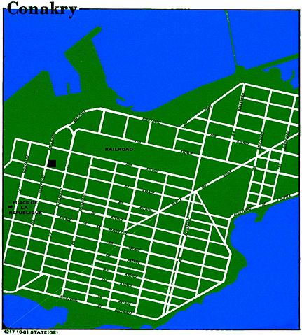
| Description |
CIA World factbook map of Conakry (new town only, colored by uploader) |
|---|---|
| Source |
http://www.lib.utexas.edu/maps/world_cities.html Perry-Castañeda Library Map Collection |
| Date |
1981 |
| Author |
CIA World factbook |
| Permission ( Reusing this image) |
public domain
|
Licensing
 |
This image is in the public domain because it contains materials that originally came from the United States Central Intelligence Agency's World Factbook. Deutsch | English | Español | Français | 日本語 | Nederlands | 한국어 | Português | தமிழ் | Magyar | +/- |
 |
File history
Click on a date/time to view the file as it appeared at that time.
| Date/Time | Dimensions | User | Comment | |
|---|---|---|---|---|
| current | 22:32, 31 December 2007 | 1,465×1,629 (181 KB) | T L Miles | ({{Information |Description=CIA World factbook map of Conakry (new town only, colored by uploader) |Source=http://www.lib.utexas.edu/maps/world_cities.html Perry-Castañeda Library Map Collection |Date=1981 |Author=CIA World factbook |Permission=public dom) |
File links
The following pages on Schools Wikipedia link to this image (list may be incomplete):