Image:Americanindiansmapcensusbureau.gif
From Wikipedia, the free encyclopedia
Size of this preview: 640 × 476 pixels
Full resolution (3,456 × 2,568 pixels, file size: 647 KB, MIME type: image/gif)
| |
This is a file from the Wikimedia Commons. The description on its description page there is shown below. |
Summary
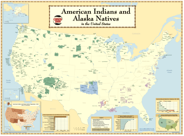
- Description: American Indian Reservations
- Source: http://www.census.gov/geo/www/maps/aian_wall_map/aian_wall_map.htm

Licensing
 |
This image or other media is a work of a United States Census Bureau employee, taken or made during the course of an employee's official duties. As a work of the U.S. federal government, the image is in the public domain |  |
File history
Click on a date/time to view the file as it appeared at that time.
| Date/Time | Dimensions | User | Comment | |
|---|---|---|---|---|
| current | 17:24, 1 August 2006 | 3,456×2,568 (647 KB) | Darkone | |
| 10:34, 18 November 2005 | 799×594 (152 KB) | Napa | (*Describtion: Amerian Indian Reservations *Source: http://www.census.gov/geo/www/maps/aian_wall_map/aian_wall_map.htm {{PD-USGov}} Category:Maps of ethnic groups Category:Maps of the United States ) |
File links
The following pages on Schools Wikipedia link to this image (list may be incomplete):